| This aerial view shows the plume arising from the fire channelling event. Things to note (1) the vigour of the core of the plume, despite its being on the upwind corner of the fire and being surrounded by lighter, whispy smoke; (2) with the plume moving downwind away from the camera the core is moving to the left; 93) moke lying low of the lee-slope of the next gully.
| 
|
| This aerial view shows the plume close-up. Note how it is developing the lee-slope of the foreground gully. The brownish colour of the convective core is also diagnostic.It is moving right-to-left. Note the spot fires developing downwind (top left corner).
| 
|
| This aerial view shows a view down to the base of the plume core. The plume base is moving laterally with respect to the wind, to the top-left. This view is looking down onto the top of the eddy in the gully.
| 
|
| This aerial view shows the intensity of the fire at the base of the plume.
| 
|
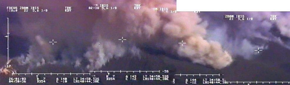
A photomosaic showing the overall structure of the event.
The wind is blowing from right to left.
Note, from left to right:
(1) spotfires around cleared land, with smoke being drawn back into and under the main column;
(2) the amalgamation of spotfires, covering the entire areas under the main plume (in other words there is no headfire crossing the area, yet it is still being consumed by fire);
(3) the main fire channelling convective core, with its brownish colour and anchored in the lee-slope of the gully;
(4) behind the core is whispy smoke from areas ignited earlier. This is the upwind edge of a large fire. The core is on the corner of the upwind edge and is moving towards the camera.
|
This material is sourced from video taken during aerial reconnaissance flown by Australian Customs on behalf of the ACT Bushfire Service.