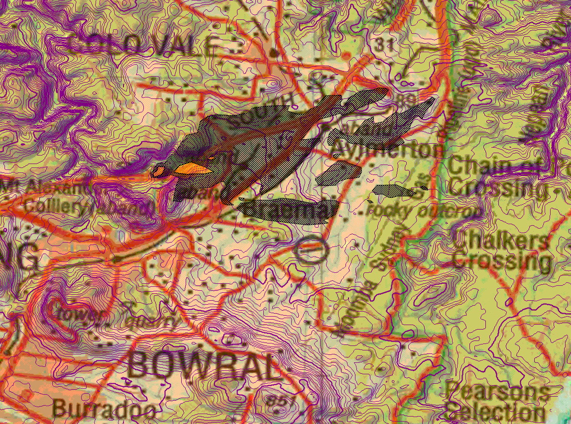
This fire started adjacent to the freeway and was funnelled by winds up the valley towards Aylmerton. When it reached the lee of the hill near Braemar, a lee-slope channelling event dominated the fire behaviour, and the fire spotted for over 5km downwind.
The main feature to note is the marked right-angle bend in the rear of the right flank of the fire, in the lee of the hill upwind of Braemar. This is a diagnostic feature of fire channelling. Note also that there was intense spotting downwind of this.
|