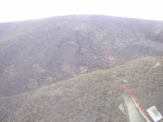
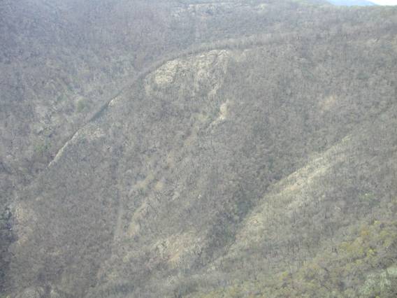
After ignition, this fire crossed a fire trail and entered the bottom of a canyon.
|
|
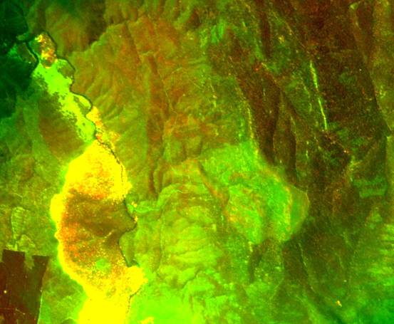
| In this multispectral linescan taken on the 18th January 2003, the area burnt in and around that canyon shows a quite different spectral signature to surrounding areas. This indicates the severity of the fire channelling event.
|
|
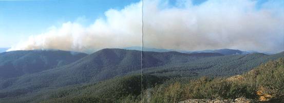
| Photos of the smoke plume are of use in analysing the situation.
|
|
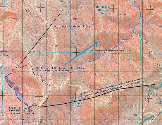
| The photo above shows that the plume was being pushed to the ENE, and that under these circumstances the spurline on the SW edge of the canyon was able to generate a lee-slope fire channelling event that dominated the fire behaviour.
|
|