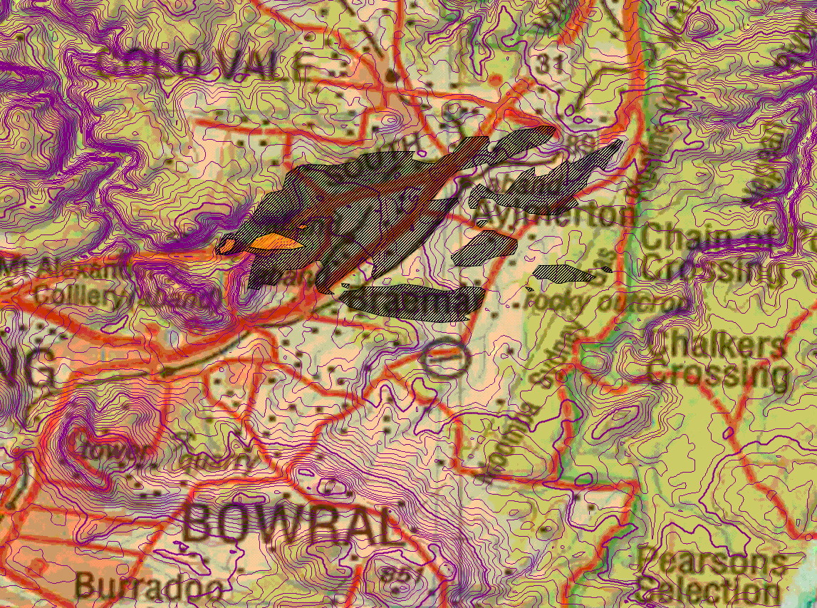
The main feature to note is the marked right-angle bend in the rear of the right flank of the fire, in the lee of the hill upwind of Braemar. This is a diagnostic feature of VLS. Note also that there was intense spotting downwind of this.
| Date | Location | Longitude (d.dd°) | Latitude (d.dd°) | Elevation (m) | Code |
| 9 Nov 2002 | Willow Vale Fire, Mittagong, NSW | 150.46 | -34.43 | 600 | 021109A |
|
This fire started adjacent to the freeway and was funnelled by winds up the valley towards Aylmerton. When it reached the lee of the hill near Braemar, a VLS event dominated the fire behaviour, and the fire spotted for over 5km downwind. The main feature to note is the marked right-angle bend in the rear of the right flank of the fire, in the lee of the hill upwind of Braemar. This is a diagnostic feature of VLS. Note also that there was intense spotting downwind of this. |