TERRAIN INDICES

This page explains the indices that are derived from terrain data and the maps that arise from them.

DRAINAGE

Another theme to emerge from the terrain analysis is drainage. This gives an indication of sites where drainage may be imparied due to terrain. This can of use to fire managers through:
This dataset is also of value to SES, as it shows part of the regional lfood problem.


Figure. Grid example.


Figure. The cross-section, showing the actual elevation as the black line. The colour that the black line is over at any point shows the drainage category:
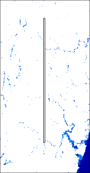
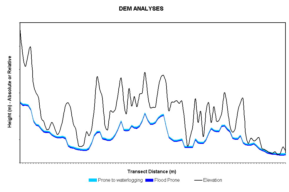
  • Dark blue is very poorly drained, and tends to be close to main watercourses.
  • Light blue is poorly drained. Note that does not imply zero slope.


Go to previous page